

The Strange Things You Can Discover About Your House from Old Maps
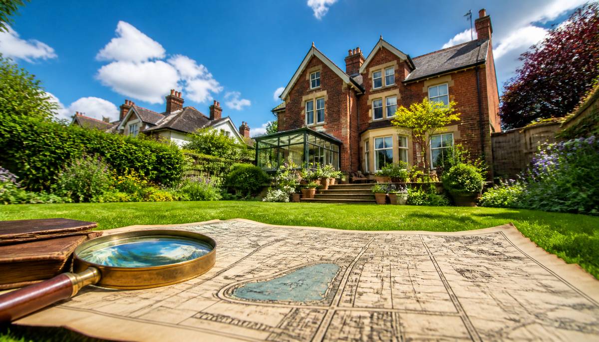 Your garden might be concealing a Victorian rubbish dump, a forgotten pond or the remains of a building demolished before your grandparents were born. The lawn looks innocent enough, but historical maps occasionally reveal that the ground beneath an ordinary suburban property has enjoyed a considerably more adventurous existence than its current occupants.
Old maps offer a fascinating way to investigate the history of a house and its surrounding land. They can reveal vanished roads, former industrial activities, abandoned buildings and alterations to property boundaries. More importantly, these discoveries aren't merely interesting historical curiosities. They can provide valuable clues about drainage problems, unstable ground and potential complications when purchasing or extending a property.
When Your Garden Used to Be Underwater
One particularly revealing discovery is that a perfectly ordinary garden once contained a pond, stream or small lake. Historical Ordnance Survey maps frequently recorded water features that have since disappeared beneath housing developments, roads and landscaped gardens.A pond filled in decades ago might leave behind poorly compacted ground, buried organic material or unusual drainage conditions. Former watercourses can also influence how water moves through the surrounding soil, even when there's no visible evidence of their existence.
This doesn't automatically mean the property has a problem. However, unexplained damp patches, persistent waterlogging or unusual settlement might warrant further investigation if historical maps reveal former water features.
Before constructing an extension over such ground, a suitable ground investigation may be advisable. Discovering that your proposed conservatory occupies the former village duck pond is considerably more useful before the foundations are poured.
Buildings That Disappeared Without Leaving
Historical maps sometimes show buildings occupying spaces that are now driveways, lawns or empty corners of gardens.These might have been agricultural structures, workshops, cottages, stables or industrial outbuildings. Although the buildings themselves have disappeared, their foundations, cellars and buried materials may remain underground.
Such remnants can complicate excavation work. Old foundations may obstruct new drainage trenches, while filled-in cellars can create areas of inconsistent ground stability.
Maps can also reveal how a property developed over time. A house that appears to have been built as one complete structure might actually incorporate several generations of extensions and alterations.
Comparing maps from different periods helps establish when particular structures appeared or disappeared. It won't necessarily reveal why they were demolished, but it provides a useful starting point for further research.
Your Peaceful Street's Industrial Past
That quiet residential cul-de-sac might once have accommodated a brickworks, railway siding, gasworks or small manufacturing site.Industrial activities can leave behind contaminated soil, buried tanks, waste deposits and other environmental hazards. Some former uses present greater risks than others, depending on the substances involved and how the land was subsequently treated.
A historical map showing a former industrial site doesn't establish that contamination exists. Nevertheless, it can identify reasons to commission an environmental assessment, particularly before purchasing property or undertaking substantial excavation.
For prospective buyers, investigating historical land use is an important part of understanding what they're acquiring. A charming garden is considerably less charming when its previous occupants manufactured chemicals for a living.
Roads That Have Gone Nowhere
Some of the most intriguing discoveries involve roads, lanes and footpaths that have completely vanished from the modern landscape.An old map might reveal that your back garden once formed part of a public thoroughfare, or that an apparently isolated property previously stood beside a busy route connecting neighbouring villages.
These discoveries can sometimes raise questions about historic rights of way and access arrangements. However, the appearance of a path on an old map doesn't automatically establish that a public right of way exists today.
Historical maps are useful supporting evidence, but anyone investigating access rights should also consult definitive maps maintained by the relevant local authority, together with property deeds and other legal records.
When Property Boundaries Start Wandering
Property boundaries have an unfortunate habit of appearing more permanent than they actually are.Comparing historical maps can reveal how gardens were divided, neighbouring plots combined and fields gradually transformed into residential streets.
An old boundary might follow a hedgerow that disappeared fifty years ago. A modern fence might occupy a slightly different position from an earlier enclosure. Sometimes an apparently generous garden contains land whose ownership history is more complicated than expected.
It's important to remember that Ordnance Survey maps generally show physical features rather than legally determined property boundaries. Historical maps alone cannot establish ownership or resolve a boundary dispute.
Nevertheless, they can provide useful background evidence when examined alongside Land Registry documents, conveyancing records and historical deeds.
Where to Find Maps of Your Property's Past
Researching historical maps is considerably easier than it once was. You no longer need to spend several afternoons in a dusty archive being supervised by someone who regards breathing near a document as an act of vandalism.The National Library of Scotland provides an excellent online collection of historical Ordnance Survey maps covering much of Britain. Its comparison tools allow users to examine older maps alongside modern mapping.
The National Archives, local record offices and county history collections can provide additional material. Some commercial mapping services also offer historical map reports intended for property research.
When investigating a particular address, try comparing several editions rather than relying on a single map. Changes between survey dates can help establish approximately when buildings, roads and landscape features appeared or disappeared.
Pay attention to map scales, symbols and publication dates. An absence of detail doesn't necessarily mean a feature never existed.
Putting the Past on the Map
Historical maps are most valuable when their discoveries lead to sensible questions rather than immediate assumptions.A former pond might justify additional drainage investigations. An old industrial site could warrant environmental checks. A vanished building might explain unexpected foundations encountered during excavation.
For homeowners planning extensions, these clues can help identify potential complications before construction begins. For buyers, they provide another perspective on a property's history that ordinary estate agent descriptions rarely mention.
Ultimately, an old map cannot tell you everything about the land beneath your feet. It can, however, reveal what deserves closer examination.
And occasionally, it explains why the same patch of lawn has been mysteriously soggy since 1894.
Article kindly provided by planningmapsuk.co.uk
Latest Articles
- The Strange Things You Can Discover About Your House from Old Maps
- Why Unoccupied Properties Can Deteriorate Faster Than Occupied Ones
- Could That Beautiful Tree Be Quietly Damaging Your House?
- What Scotland's Relentless Rain Can Reveal About Your Home's Plumbing
- Window Privacy: Why Being Invisible During the Day Doesn't Mean You're Invisible at Night
- Why Plumbing Problems Behave Differently in Older Tenement Buildings
- Is Your Bed Frame Making Your Mattress Work Harder?
- Before You Hire a Handyman, Photograph the Problem Properly
- The Repair That Reveals Three More Repairs: How to Handle Scope Creep Calmly
- The 'While You're Here' List: Small Jobs That Are Worth Grouping Together
- The Previous Owner's Strange Decisions and How a Handyman Unpicks Them
- The Guest Test for Small Home Repairs
- How Long Should a Dishwasher Last, and When Is Repair the Better Choice?
- Why Is My Washing Machine Shaking So Much?
- The Weight Test: What Your Wall Can Really Hold
- Why a Door That Still Locks Can Still Be a Security Problem
- The One-Hour Home Audit: Small Defects That Quietly Become Expensive Repairs
- Can a House Be Too Well Insulated? Understanding the Other Half of Low-Energy Design
- Your Roof Needs to Breathe Too: The Link Between Ventilation, Condensation and Hidden Timber Damage
- Why Your Boiler Behaves Perfectly Until the Weather Turns Cold
- Interior Design
- Home Improvement
- Gardening
- Home Organization
- Home Maintenance
- DIY Crafts
- Kitchen and Dining
- Bathroom Design
- Home Security
- Home Automation
- Green Living
- Home Office
- Home Decor
- Garden Design
- Pet Care
- Home Technology
- Landscaping
- Home Energy Efficiency
- Home Cleaning
- Home Safety
- Home Exterior
- Home Insulation
- Home Buying
- Home Selling
- Renting
- Tradespeople
- Garage
- Bedroom
- Painting and Decorating
- Plumbing and Drainage